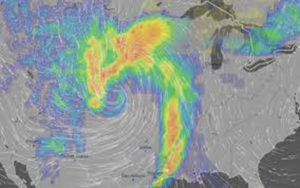
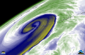
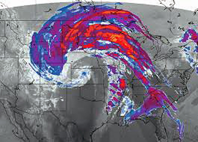
An explosively intensifying winter storm that has up to Cat-2 hurricane force is described by weather experts as a rare “Bomb Cyclone” that is a historic winter cyclone.
The National Weather Service described it as “incredible” and a “Great Plains cyclone of historic proportions.” Over 70 million people across most of the U.S. are affected.
The storm’s pressure dropped to the equivalent of a Category 2 hurricane with many towns as Pueblo, Colorado, and Dodge City, Kansas, dropping to the lowest pressures they have ever recorded.
And it has strangely combined the worst weather of all four seasons into one — from violent tornadoes, thunderstorms, damaging hurricane-force winds, severe blizzard conditions and flooding.
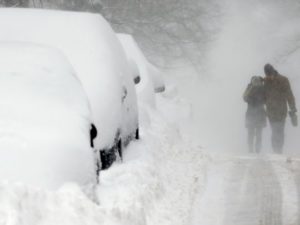
The blizzard has stranded over a thousand drivers with many requiring rescue and has closed highways. Airports have been closed as airplanes were tossed like toys and nearly two thousand flights were canceled.
At Denver International Airport, they had cat-1 hurricane force winds recording at 80 mph, the strongest on record.
 South of Denver, at Colorado Springs they logged a wind gust that was clocked at Cat-2 hurricane force of 97 mph, its highest ever recorded.
A veteran broadcast meteorologist reported: “This is about as bad as I’ve ever been in … winter-wise in the 27 years at the Weather Channel.”
“This is a very epic cyclone,” said a chief of forecast operations for the National Oceanic and Atmospheric Administration’s Weather Prediction Center. “We’re looking at something that will go down in the history books.”
Winds are also roaring outside of thunderstorms. High wind warnings stretched from New Mexico to Nebraska for gusts up to 60 mph (and 80 to 100 mph at higher elevations) while advisories for gusts up to 40 to 50 mph extended as far east as western Tennessee.
The Weather Service in Amarillo, Texas, reported high profile vehicles were blown over and railroad cars were toppled.
It’s a storm for the record books, strengthening from a run-of-the-mill weather disturbance into a historic cyclone in 24 hours with its central pressure dropping 33 millibars meeting the criteria of a meteorological “bomb.”
And the storm made this transformation over land, rather than water, which is rare.
This is another case of strange weather happening in 2019 especially since the Super Blood Moon of January.
The Biblical prophecies (Luke 21, Revelation 16) foretell that earth’s weather cycles will intensify signaling we are nearing the end of this age and the coming of Jesus Christ.
This ministry is viewer supported: if each of our viewers would give a donation, no matter the amount, as a tax-deductible offering, you will help ensure the signs of Biblical prophecy are shared with the world. Please Give Here so together we can continue sharing more signs of the coming of Jesus.
Do you believe in ministry sharing the prophetic signs of Jesus’ coming? … then please join us as a monthly Partner in Prophecy giving any amount each month to share the signs of His coming. Just check the recurring contribution button on the giving page linked below:
Click below to give any amount as
A Monthly Partner. (on form be sure to click recurring contribution button)
Thank you to all who are giving to this work of ministry, you will be blessed as Lord Jesus said!
Contributions to this non-profit charity are tax-deductible.

